This was going to be the last of my "enjoy-the-snow-while-it lasts" trips. Already in the second half of June, extensive snowpack usually becomes hard to find in Colorado in most years. Holy Cross Wilderness abounds in terrain above 12,000 ft and this is why I chose it as my destination. My plan was to go up to Halfmoon Trailhead, and from there to Fall Creek Pass. When I got to Tigiwon Road at about 4 p.m., I found it still closed. The prospect of walking almost eight miles just to reach the trailhead made me turn around. I figured I would take a little road trip to Leadville, and then go back home to sleep on my comfortable futon.
As I drove along U.S. 24 toward Leadville, I came up on a right turn that I decided to explore a little bit. The dirt road (as I later found out called Homestake Road) followed a river through a scenic valley and as my GPS indicated, I was getting closer and closer to Fall Creek Pass, eventually coming within less than four miles of it. Then, I saw a little pull-off where a few cars parked, and a trail heading up the hill in the right direction. I could not resist.
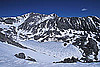
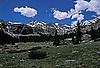
The trail was really an old jeep road, and climbed steadily and quickly through nice aspen groves. Later it intersected with another road to Holy Cross City site. When I finally reached the wilderness and first meadows around the treeline, I called it a day - having climbed about 2,000 ft with a heavy pack in less than two hours, with the light quickly disappearing.
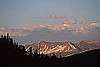
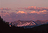
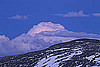
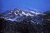
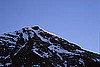
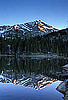
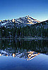
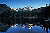
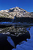
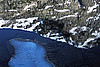
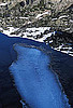
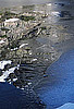
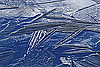
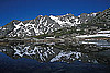
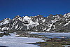
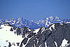
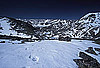
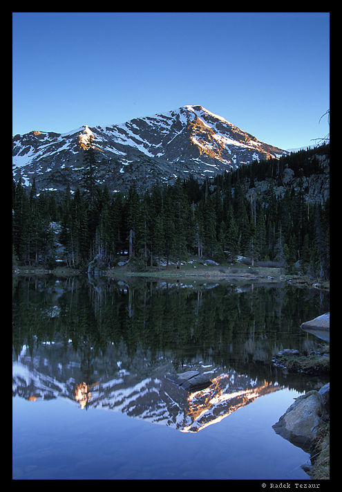
The next morning I set out well before the sunrise. I marveled at the scenery as I contiunued up the valley along Seven Sister Lakes. After reaching Fall Creek Pass, energized by the views, I climbed a minor 13,100 ft tall summit above the pass, from where I could take in the view of still frozen over Tulare Lakes and the summit of Mt. Holy Cross. And then it was just 4,000 vertical feet back to the trailhead - downhill, of course!
 or,
if you prefer, sign an entry in the
guest book.
or,
if you prefer, sign an entry in the
guest book.