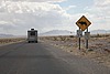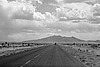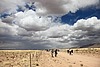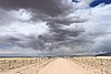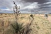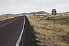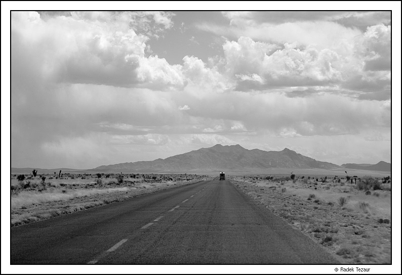
It seems there would be hardly anything remarkable about the expanse of the arid prairie south of Highway 380 between San Antonio and Carizozo (southern central New Mexico). Unless, of course, you are a fan of vast open spaces, the light and the clouds are good, and then you could, like me, spend hours photographing this emptiness. However, this place's significance goes far past clouds. Or rather it is tied to a particular type of cloud - a mushroom cloud to be exact. Seventy years ago, this place was selected for the world's first nuclear bomb test from a short list of candidates that were not far from Los Alamos, where the atomic research took place.
Nicknamed supposedly by the "father of the atomic bomb", Robert Oppenheimer, Trinity was a code name for the detonation test of a plutonium bomb whose complicated design was deemed to require testing. The "gadget", as the bomb was called, was successfully detonated on July 16, 1945. The same type of a bomb was also used a few weeks later to destroy Nagasaki, a Japanese city, effectively ending World War II.
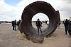
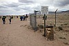
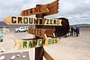
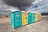
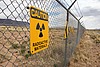
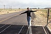
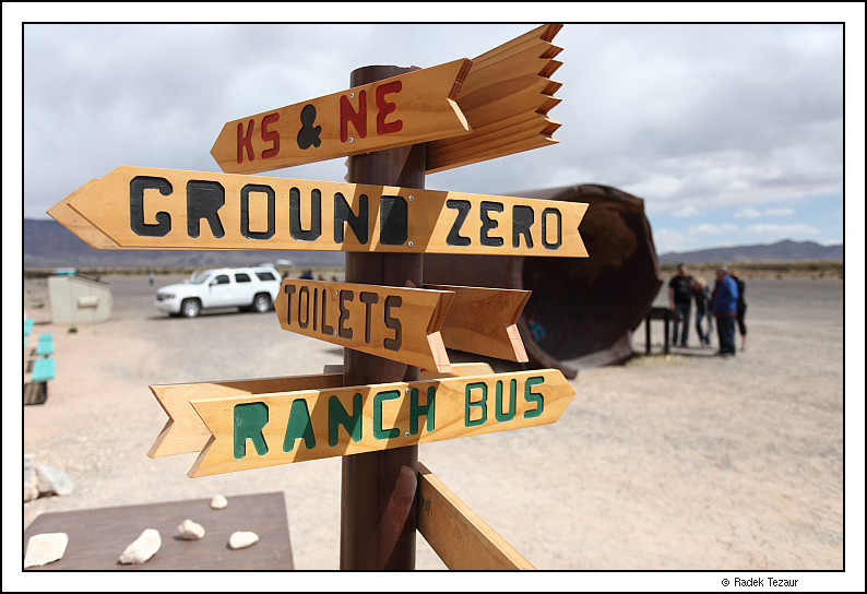
Trinity Site is now a part of White Sands Missile Range, run by the US Army. It opens to the public, twice, or in recent years once a year because of budget constraints. When it does open, it is the first Saturday in April (and October). It is a few miles from Highway 380 on State Route 525 south to a checkpoint and then some 20 more miles to a parking lot near the site. Other than porta-potties, the biggest attraction of the parking lot are remains of a containment vessel, "Jumbo", that have been moved there from Ground Zero. Jumbo was at one point intended to recover preciously expensive plutonium if the nuclear test failed and the detonation fizzled. However, it was not used in the actual test. Confidence in the design grew by then and the amount of available plutonium became larger.
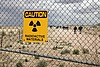
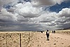
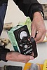
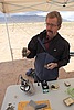
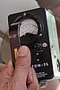
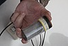
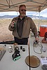
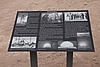
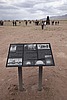
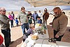
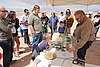
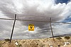
It is a quarter mile walk from the parking lot to Ground Zero. Along the way, volunteers set up a couple of stands and showed radiation measuring gauges, along with some examples of radioactive materials and trinitite, the desert sand that melted in the explosion to form a mildly radioactive green glass. The residual radiation at Ground Zero is about ten times of that natural for the area
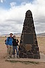
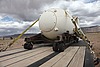
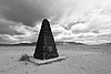
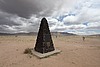
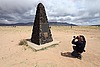
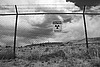
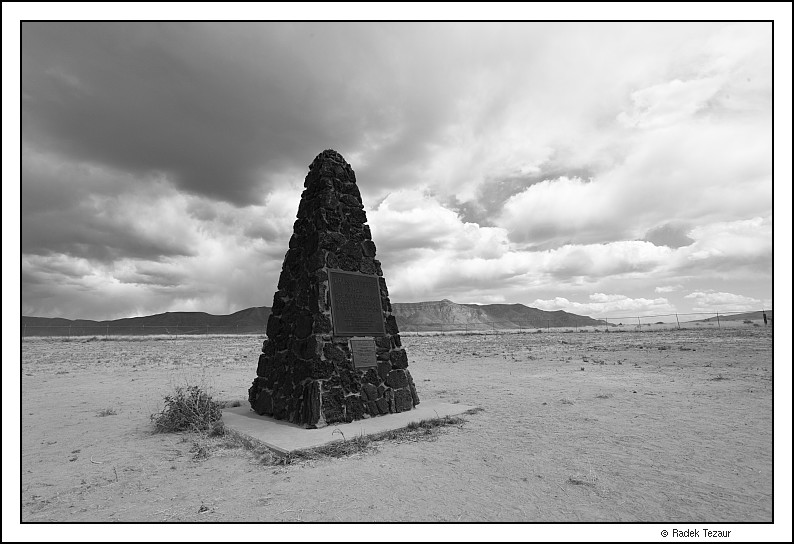
Ground Zero area is fenced around and the spot originally under the bomb is marked by a memorial obelisk. A display showing trinitite on the ground was closed, supposedly because the original trinitite was now covered by sand. A mock-up replica of the bomb container was on display on a truck flatbed. Roughly the size of a refrigerator, albeit more bomb-like-shape, it is hard to believe what destruction a device so small could unleash.
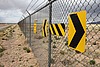
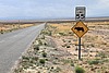
Retracing our steps and our drive back out of the White Sands Missile Range, we stopped when we reached Highway 380. There is a sign pointing out the Trinity Site. There was glass from broken beer bottles on the ground. As hard as it is to give any kind of endorsement to littering, I suppose it is best that people stick to making bottle-tite as opposed to trinitite.
 or,
if you prefer, sign an entry in the
guest book.
or,
if you prefer, sign an entry in the
guest book.